Shangri-La: Where Mountains and Culture Meet
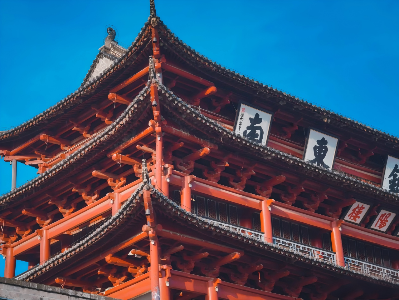
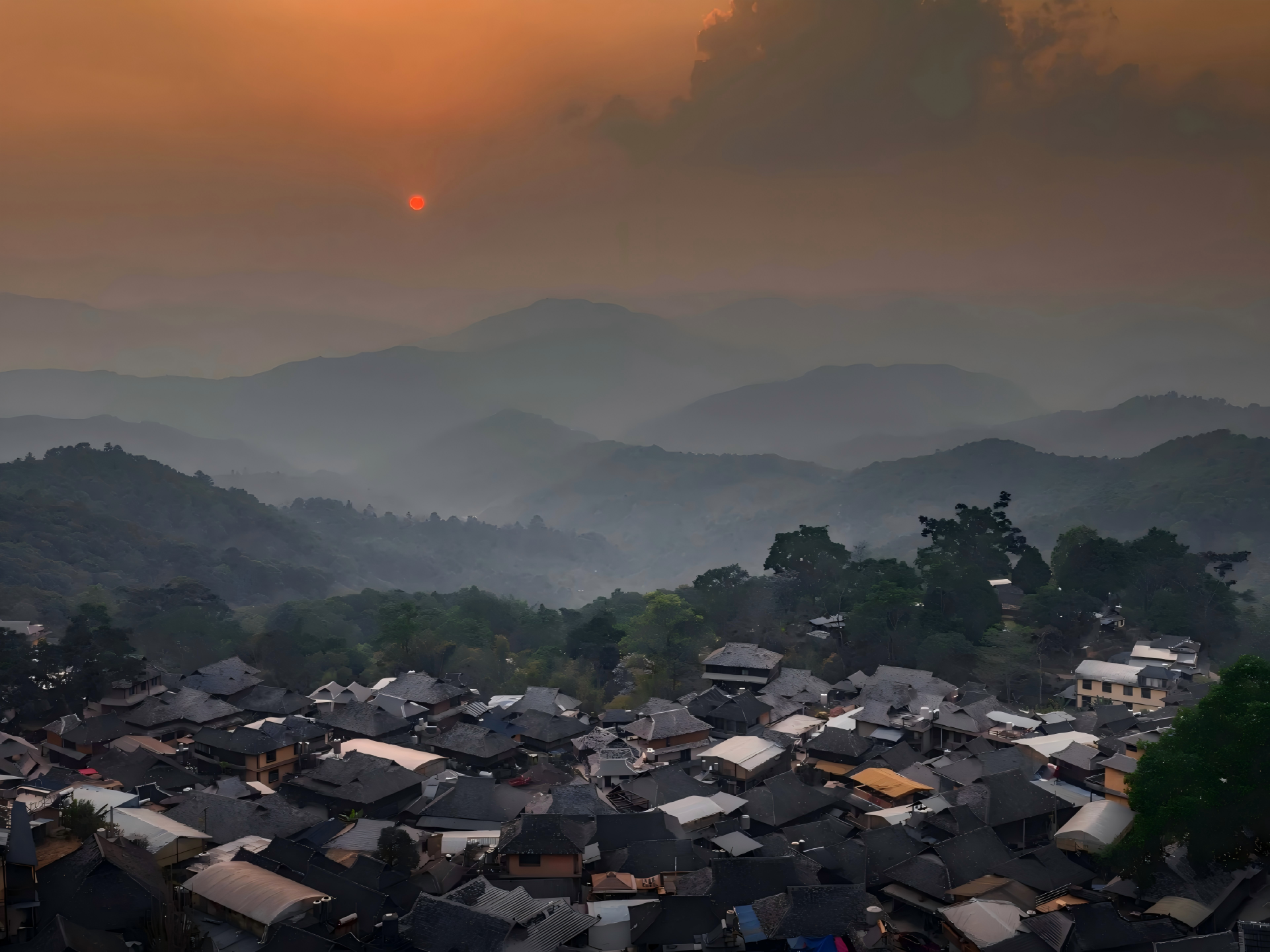
Discover Shangri-La, a land where the Tibetan plateau unfolds into breathtaking valleys and majestic mountains. Traditional villages and ancient monasteries invite you to step into a world shaped by centuries of culture and devotion.
Trek through pristine landscapes with guides who know every hidden trail, from crystal-clear rivers to serene highland meadows. Each step offers a unique encounter with nature at its most authentic.
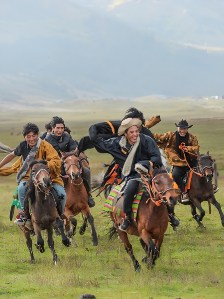
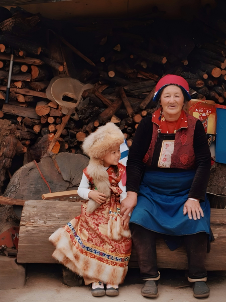
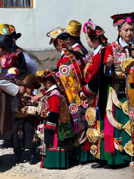
Experience the warmth of local hospitality, taste genuine Tibetan cuisine, and witness vibrant festivals that bring communities to life. In Shangri-La, every moment becomes a story to remember.
Meet Shangri-La
Where it is:
Shangri-La sits in northwestern Yunnan, China, near the eastern edge of the Tibetan Plateau. It’s surrounded by snow-capped mountains, deep valleys, and pristine rivers, giving it a sense of remote serenity.
Altitude:
The city itself is around 3,200 meters above sea level, while surrounding peaks can reach over 4,500 meters, creating a crisp, high-altitude climate.
Weather:
Cool and mild in summer (10–22°C), cold in winter (−5–10°C). Spring and autumn are short but pleasant (5–18°C). Most rainfall occurs June–August, with the rest of the year dry and sunny. The altitude can make the air feel thinner and the sun stronger.
People & Language:
Population is roughly 150,000–200,000, including Tibetan, Han, Naxi, and Yi communities. Mandarin is widely spoken, and Tibetan culture remains central, seen in monasteries, festivals, and daily life.
Getting Around:
Diqing Shangri-La Airport connects the city to Kunming, Chengdu, and Lhasa. Local buses, taxis, and guided tours make exploring the old town, nearby monasteries, and natural landscapes accessible.
Tips for Your Visit:
Best time: May–October for milder weather and hiking. Take time to acclimatize to the altitude, dress in layers, respect Tibetan traditions, and enjoy the unique mix of Tibetan culture and highland scenery.



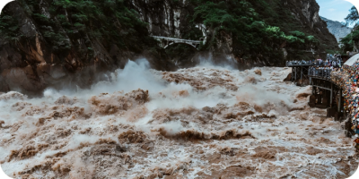 Along the cliffside path, we guide you between the sheer walls of the Jinsha River. The water rushes violently below, the gorge cuts deeply, and the uneven trail of stone and soil requires each step to match the terrain’s rhythm. Pausing at viewpoints, you look down as the river churns between rocks; the roar of the water blends with wind and pine, forming the natural cadence of the gorge.
Along the route, traces of terraced fields and Tibetan villages appear: stone paths, barley ridges, and drying crops. We demonstrate how to record terrain, stream velocity, and vegetation, and to sketch small annotations marking key turns and viewpoints—your own trekking imprint.
Walking, your steps, breath, and gaze align with the gorge’s rhythm. Streams, rock textures, and vegetation changes along the way become tactile and observable materials, each pause letting terrain, river, and cultural traces enter your senses naturally.
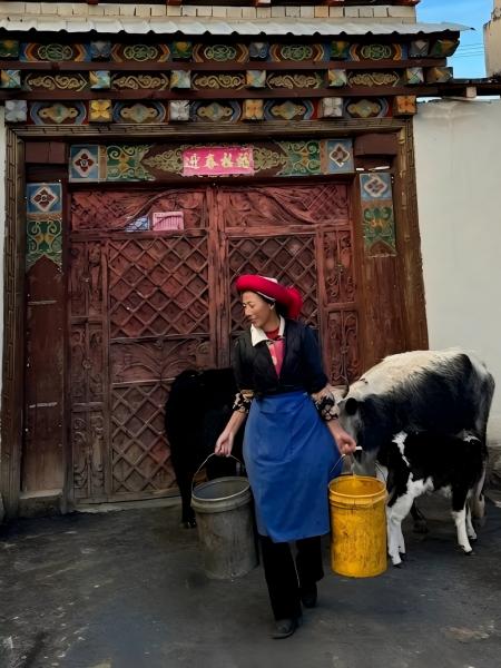
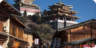 From the north gate, we guide you along the winding stone streets of the ancient town. Street slopes, courtyard layouts, and water channels interconnect, reflecting centuries of local living logic: low wooden windows, partially open doors, prayer flags fluttering, where devotion and daily life meet naturally.
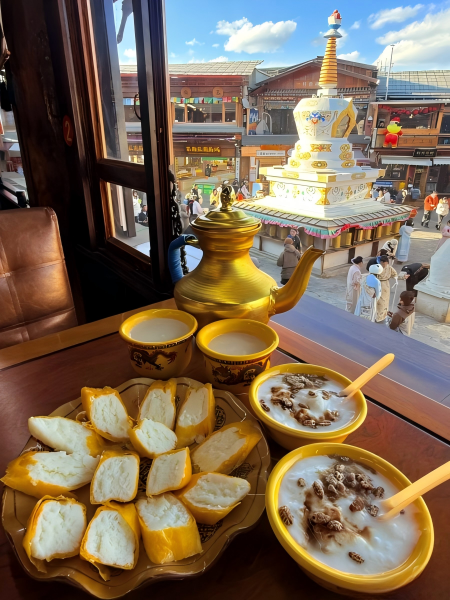
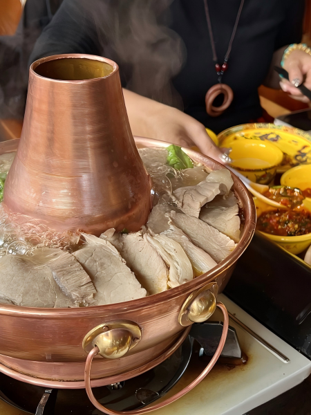
Along the alleys, we pause at small tea houses or family workshops to experience butter tea preparation and the simple making of zanba. While full Tibetan dishes are not commonly available on the streets, these small-scale interactions allow culture to meet taste: tea stirred by your hands, small dough balls shaped by you—tangible imprints of local practice.
Entering artisan workshops, observe Tibetan ornament weaving and colored thread embroidery, and try making a small hanging ornament yourself. Deep within courtyards, butter lamp arrangements and stacked prayer papers form a hidden sequence of actions: lighting, arranging, touching—each gesture carries cultural understanding.
From a high vantage point, red roofs, water channels, courtyards, and prayer flags reveal the town’s spatial logic. Following our curated path, the streets, daily life, religious practice, and artisanal craft unfold layer by layer.
 Along the stone path at the mountain base, we guide you along the daily tracks of monks into the monastery. Golden roofs emerge through the morning mist, with courtyards, monk quarters, and prayer halls forming a precise spatial order—each step reflecting daily rituals and festival sequences.
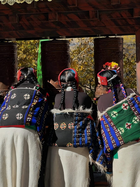
Following the curated path, we pause to observe morning chanting and prayer rhythms, experiencing the logic of the circumambulation route—hands turning prayer wheels, feet moving lightly, each gesture resonating with space and ceremony. We demonstrate how to document festival setups, photograph courtyard layouts, or sketch miniature temple models, transforming cultural observation into actionable imprints.
At tea houses or small workshops around the monastery, simple butter tea and local snacks reflect aspects of monastic daily life. Along the route, every corridor and roofline reveals interactions between daily practice, religious rhythm, and community life.
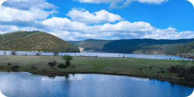 Along the forest boardwalks, we guide you through paths between wetlands and lakes. Moss-covered undergrowth, streams slowly flowing into the lakes, reeds swaying in the wind. Along the way, observe the distribution of alpine plants and the rhythm of foraging waterbirds. Sketch lake contours or record vegetation growth—actions that naturally form a chain of engagement.
Pause at high points around the lakes to note moss, fallen leaves, and the water’s edge micro-ecosystems. Collect small samples, photograph plant features, or make field notes—each stop producing tactile and organized imprints. The pace of the route synchronizes naturally with the rhythm of lakes, forests, and wetland wildlife.
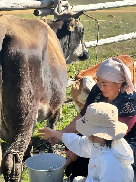
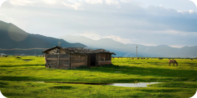 Along the gentle slopes of the plateau wetland, we walk through spaces where reeds, shallow water, and pastoral areas intersect. Herds move along the wetland edges, and waterbirds occasionally skim the surface. Observe the interaction between aquatic plants and herd movement, sketch the wetland layout, or record plant species, merging ecological observation with walking actions.
Pause at the wetland’s edge to collect small plant samples or note changes in water reflection and reed density. Soil, moss, and wildflowers serve as tactile, recordable materials. Each step along the route synchronizes with the rhythm of water, herds, and bird activity.